Navigation
I promised a post about navigation way back in Norway. It's a bit of a dry topic so I'll throw in lots of pictures and explain around those...
Navigation gear
- Mobile phone in waterproof pouch
- GPS Garmin Etrex in waterproof pouch
- Field compass: small, with corners rounded off
This above is the stuff I use. Each item is tethered and has a specific pocket. The tracker and my camera could also theoretically assist in navigation, but haven't (yet?) been used for this purpose. The tracker, by the way, is the black and yellow device poking up on the left, next to the reindeer stew:
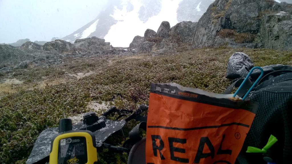 YB tracker
Phone
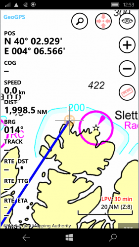
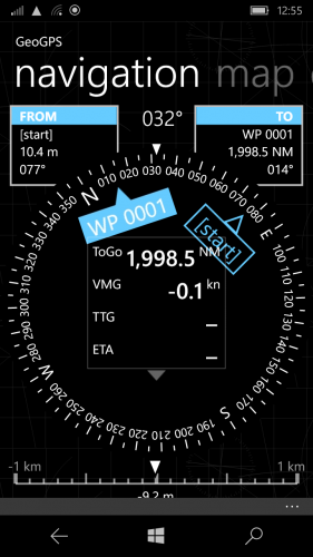
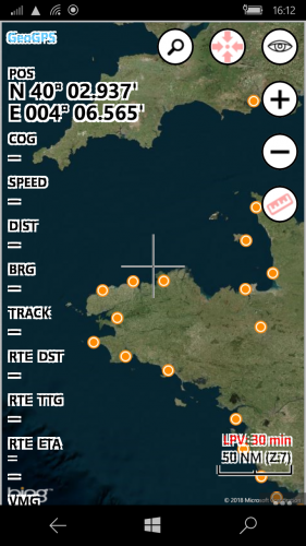
I've used a few phones and keep coming back to my Windowsphone Lumia 735. It's key features are good sunlight readability, an ap I really like called Geogps, and being cheap secondhand on Ebay.
For day to day, the phone is my preferred navigation instrument because of the flexibility in selection of waypoints, good display to check out the terrain, and - for Norway - excellent free nautical charts. The Navionics website also has a useful chart viewer.
To maximise battery life it is a very good idea to disallow all background aps and put the phone in flight mode. You never know when suddenly it will become very important that you've got some juice in reserve...
The phone is difficult to use with wet hands or in the rain. So as conditions get worse - navigation becomes much harder too.
GPS
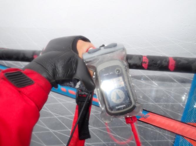
I use the GPS when I have a definite target in mind and want maximum certainty that the electronics won't let me down. Good examples are when embarking upon significant crossings (big fjords, Sweden to Denmark, Heligoland...). Normally I will set the target before leaving land, and perhaps turning off between consultations to save battery. The GPS is difficult to operate inside the bag, but is easy to follow to a waypoint even when the weather is grungy, and the physical buttons are at least usable in properly wet conditions should changes of target need to be made.
I can clip it onto the boom (pipe-clip - auto-releases as necessary) which is handy to monitor direction of travel (useful when target out of sight or beyond horizon) or speed (good for ETA guestimates).
The GPS uses 2xAA batteries. Lithium batteries offer the lightest weight and longest life.
Field Compass
The compass is there as an emergency back-up and for confirming that GPS info 'makes sense'. It's on a tether and the sharp corners have been rounded off with sandpaper. It's very light, never runs out of battery, and works well in bright sun, rain...
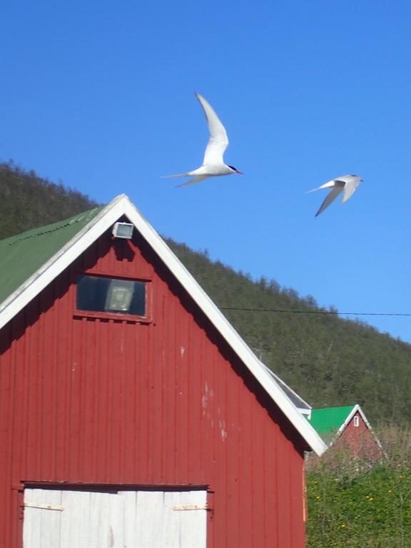 No compass pic. Instead, Arctic terns: master navigators who fly Arctic to Antarctic AND BACK every year
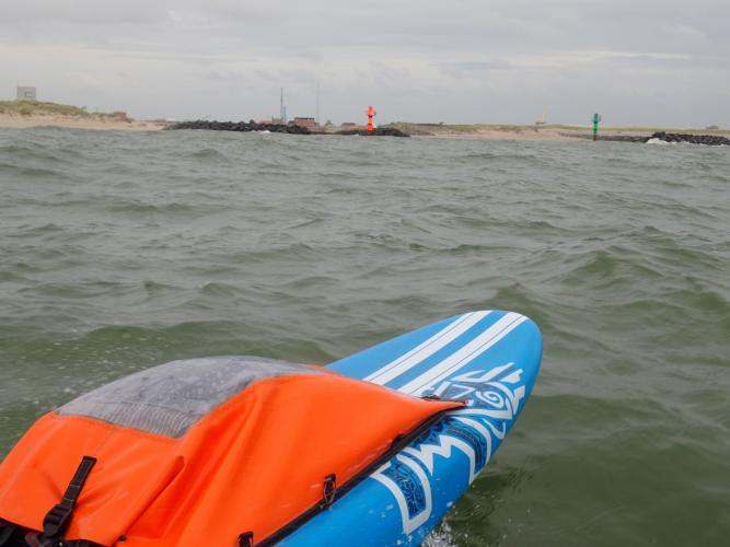
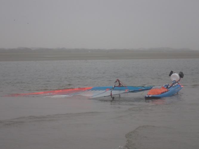
Sand
With technology making navigation so easy, there's a danger of becoming a bit too blasé, or not doing quite enough homework. For example, sand often doesn't show up well on standard maps, and has caught me out on a few occasions. Switch to satellite view below so see why I ended up walking this bit...
A more alarming miscalculation was thinking I'd be able to sail straight into the Gironde on a sizeable swell. It looks OK here, but check here for why that isn't a good idea. I didn't check, until too late, resulting in being forced into an unplanned and really quite scary detour.
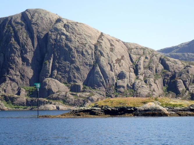
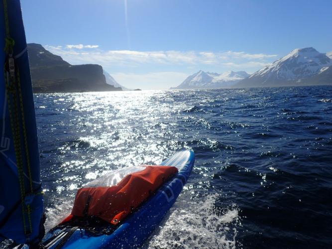
Mountains
Different terrains different challenges from navigational and sailing perspectives. Keeping to the navigational, high ground makes things easier: features stand out well and are visible from far away
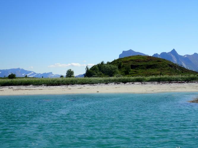
Low Country
Low land - from a distance - is below the horizon, and from closer-up tends to look quite uniform: distant dike, dune or some other sea defence! It's difficult to know where to head for, Even with a target, reaching places at low tide can be difficult. An extreme example would be in the Wadden Sea, behind the Frisian Islands. OpenSeamap maps (overlay in phone ap) helped locate the channels to get through there.
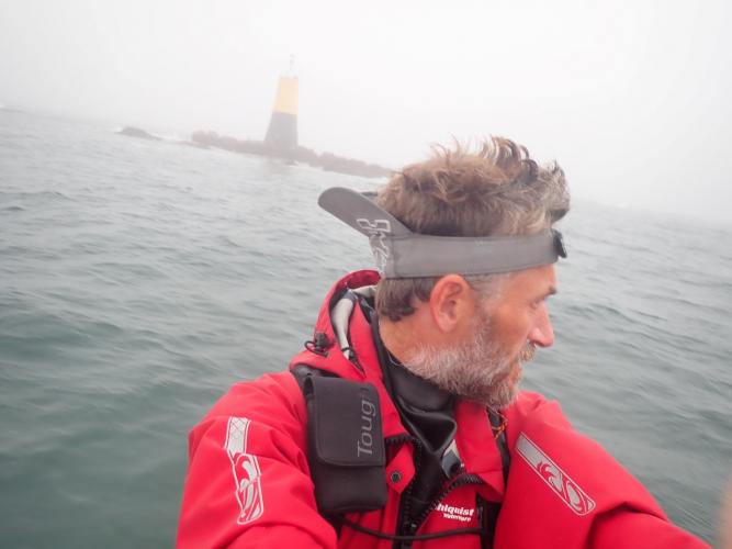
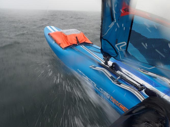
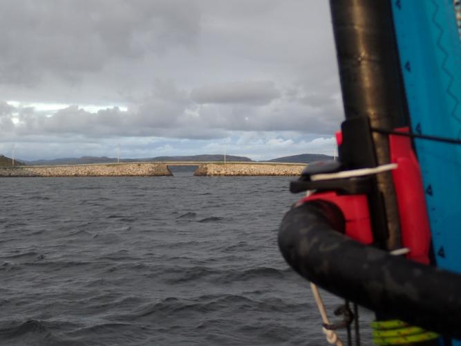
More Navigational Observations
Captions below the images...